Last month, my partner & pup took to new hiking territory by exploring one of Atlantic Canada’s hardest hikes, the Fundy Footpath. We like to get into the wilderness for multi-day treks at least once a year & this adventure claimed itself in challenge & in moments, unmatched beauty.
The Fundy Footpath is not yet a provincial or federal park so it relies on the generosity of volunteer groups for its’ management. This makes it a little more tricky to plan for your trip, so courtesy of my partner, from Fade to White media here’s a recap of the details & derailments that made for one of our most memorable adventures. If you’ve never taken on a multi-day trek & don’t know what to plan for, consider reviewing my post from our Chignecto trip from years’ past.
Our Footpath adventure was 51.3km and 2807m elevation gain over three nights and four days, and was definitely the hardest hike we have done. Our biggest takeaway from this trip was that we really want to slow the hiking days down and savour our immersion into the wild. More on that as the story unfolds...
DAY 1: POINT WOLFE TO GOOSE CREEK
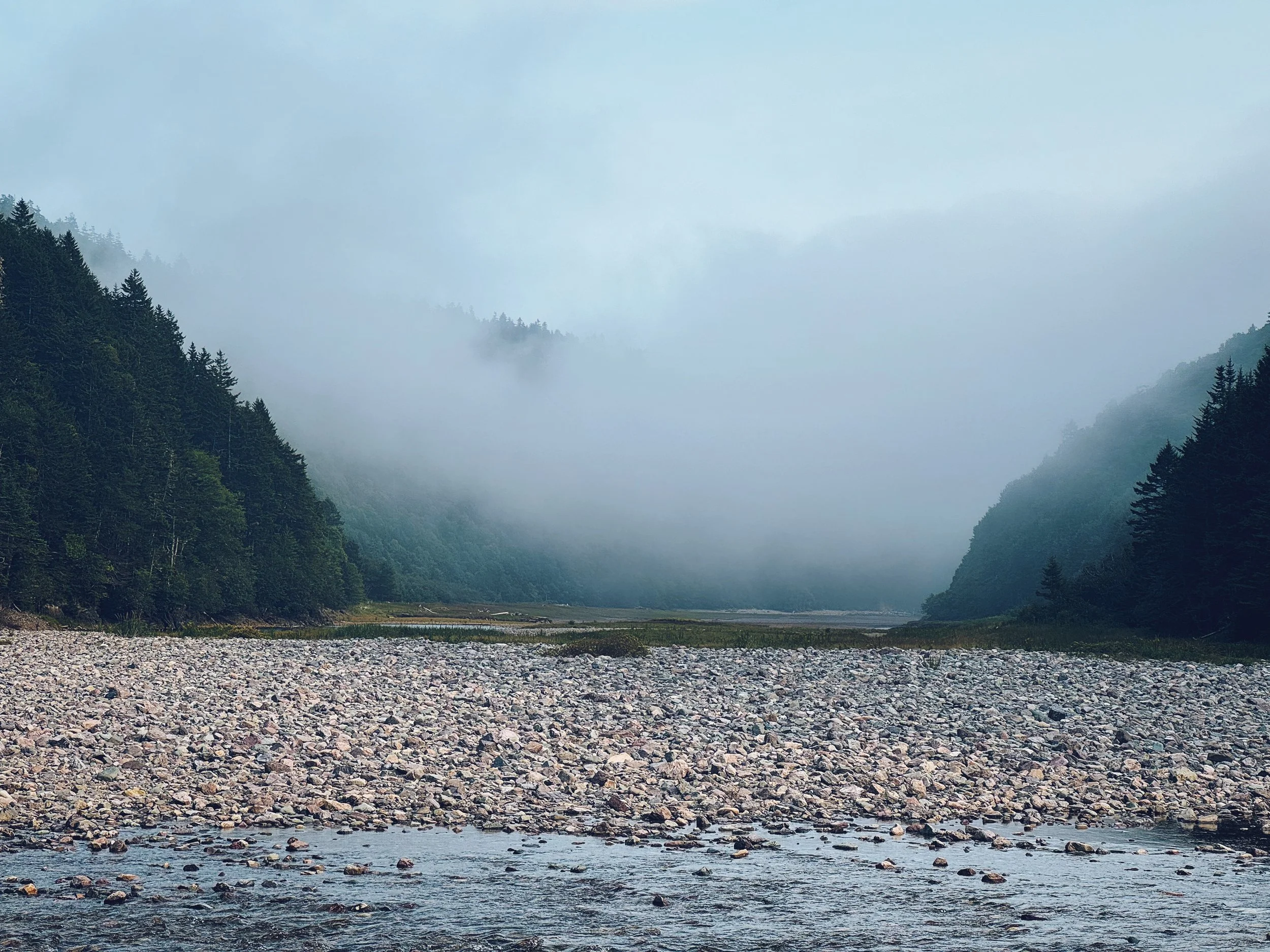
We spent the night before in Moncton and headed out for 9am start at Point Wolfe. The Footpath is a bit of a weird one - you start in a national park, do one of its trails, then you’re on the much more primitive, volunteer-maintained Footpath and you end in a provincial park. You also have to contend with a tidal crossing.
Because of the days we had off to do the trail and the tides, there was no way to start at the “actual” beginning in Alma and still finish on time. So we started at the traditional (old) starting point of Point Wolfe, and our total distance was to be ~52km.
The first section in Fundy National Park was an absolute breeze. 11.4km of easy-peasy trail that really does not prepare you for what’s to come. Not much in the way of views, but a nice little pleasure cruise for the experienced hiker. We stopped at Goose River and had a snack before starting the actual Footpath. The next 9.1km took us an hour and a half longer than the previous 11km, and it kicked our butt. The Footpath feels at least 50% harder than Cape Chignecto, possibly more. It has twice the elevation gain & is technically quite tricky in many parts.
We got to the tidal crossing at Goose Creek in plenty of time, but we can’t say we were worry-free as time ticked. A few times, we lost the trail, and this was one of those times. The book says to cross and follow the shoreline, which we did but it was all tall grass and mud and disgustingness. The actual trail of course does continue in the woods a bit, but we already had wet feet, and the shore part seemed quicker. It was not.
We made it to camp, and I think we ended up pitching our tent on the actual trail because the other spots were just too full of roots and such. One of my favourite moments happened here - we had eaten, cleaned up, and hung our bear bag and were just about to head to bed when I saw a flash across the water. It was lightning. We could see land, and the clouds above it kept erupting with lightning. We were watching a thunderstorm over Cape Chignecto, but we couldn’t hear the thunder. It was a bit magical, and it was the perfect way to end day 1. As you can see, Cashew LOVED the tidal crossings! We did not keep her on leash the whole time but would recommend leashing for safety & energy.
DAY 2: GOOSE CREEK TO TELEGRAPH BROOK
Our plan was to make it to Wolf Brook on day 2. As we marched on, that was looking less likely. The inclines and declines of the trail are so intense. We went off trail for a few minutes as well, and that’s one complaint I have - the blazes could definitely be improved throughout, but especially in the middle section. White blazes on trees that also have white on them are sometimes really hard to see.
If felt like the most level part of the entire trail for us was the stretch towards (and then away from) Martin Head. The views were lovely, and I’d love to get down to Martin Head at some point because it looks amazing!
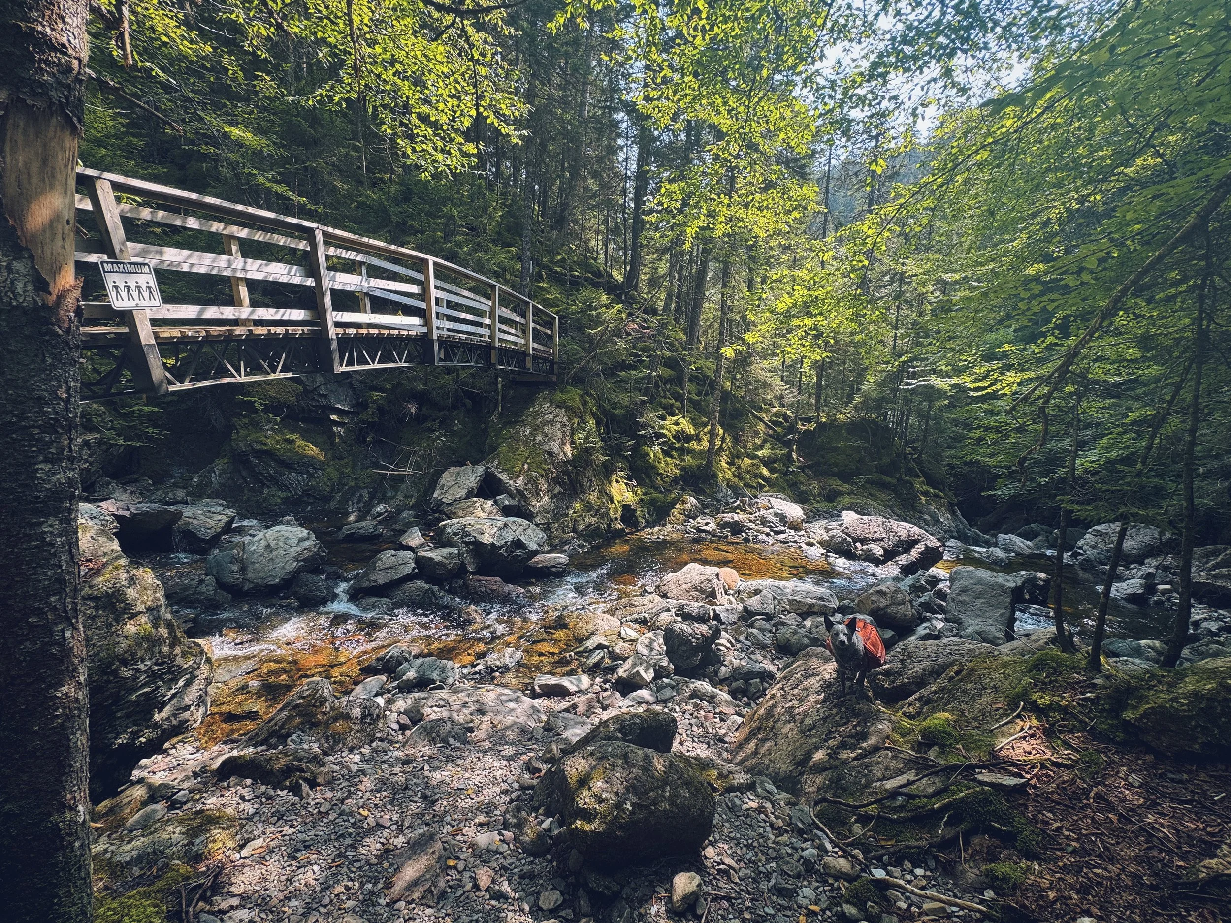
We made it to Quiddy River and decided to have a nice lunch and a bath. It was so nice to stop and enjoy the scenery, get clean in the crisp water, and dry in the sun. We spent entirely too long there (over an hour), but it was worth it.
After another 200m of ups and downs, we descended into Telegraph Brook and immediately fell in love. There is a waterfall and pool that turns into a stream that empties into the ocean. We knew right away that we wanted to camp there and not continue on to Wolf Brook. We could have made it, but we would have ended the day with headlamps and setting up camp after sunset.
We pitched on the rocky beach, had another lovely bath in the waterfall pool, and had a good chat about the trail so far. We decided then and there that rushing just to finish was not serving our purpose. We wanted to be able to stop and play in the river, take photos of nice views, have a snack and really look at our surroundings and the amazing biodiversity in the woods.
That night was the most intense and amazing aural experience. Laying in the tent, we could hear the rushing waterfall of Telegraph Brook, its stream trickling past us into the ocean, the crash of the waves against the beach as the tide rose ever closer to our tent, and the wind swooping along the massive cliffs on either side of us. Nature really is the best white noise machine.
Before I fell asleep, I unzipped the fly door from the top (thanks MSR for making an amazing tent in the Hubba Hubba 3), and saw the massive moon and its reflection over the Bay of Fundy, and I knew all the effort we put into this trip had been worth it.
DAY 3: TELEGRAPH BROOK TO LITTLE SALMON RIVER
We started the day with a new plan, and trudged up the nearly vertical incline out of Telegraph Brook. As we climbed, descended and passed Wolf Brook, we were very pleased with our decision to stay at Telegraph and not attempt that section after such a long day the night before.
Our favourite woods scene was Two Brothers - two brooks meet, surrounded by the most vibrant moss-covered hills and beautiful trees. We stood there for several minutes - these are the kinds of things you can only see when you’ve hiked into the middle of nowhere. It was breathtaking. Next up was the highest climb of the whole trail. Up, up, up to ~239m. It was relentless.
Mayo Crossing was just a tease - you go down a bit, so you feel like maybe it’s time for the decline, but soon enough you’re going straight back up. The decline into Little Salmon River is the steepest of the trail and it was rough going, but we were happy to be descending to our campsite for the night.
Little Salmon was a bit strange, as it is quite far inland and not on the Bay like the rest of the beach areas. The views were lovely, though, and we pitched in the wooded section, as all the rest of the sites were pretty much taken! It turned out to be a bit of a zoo because Little Salmon is easily accessed from the Fundy Trail Parkway P15 lot as an overnight (or even day) hike, and it was a beautiful August Saturday night.
After setting up camp, we got a great fire going, a meal in our bellies & washed up. We were in bed, just about to go to sleep, when we heard some people outside. It was 9pm. A couple had just arrived with their toddler in tow. They proceeded to set up camp directly next to us, hammering in stakes, sawing & chopping wood, trying to soothe a crying child, and then drinking beer and having a grand ol’ time until close to midnight. During this time, some women were also screaming and laughing like crazy down at the beach area, and the massive German Shepherd that someone had brought continued to bark at everything and everyone.
Needless to say, this is not what we had in mind for our last night. This is definitely not the vibe at any of the campsites at Chignecto, and while we loved seeing lots of people out and enjoying the trail, it seems trail and camp etiquette will be ignored no matter which campground you’re at - even in the backcountry!
We ended up plugging the phone into its’ battery bank and used a Dark Noise app to play some ocean+wind+rain+brown noise sounds to drown everything out, which is a pretty funny juxtaposition against our previous nights, especially Telegraph!
DAY 4: LITTLE SALMON RIVER TO EYE OF THE NEEDLE
We set an alarm and woke up early. It didn’t take us long to cross Little Salmon and get up the last big incline to the Fundy Foothpath Link / McCumber Brook Access. Our original plan was to make it to Seely Beach for our last night and end at Big Salmon, but we pivoted to taking this access trail up to the parking lot, dropping our bags, and then heading to the Walton Glen Gorge Lookoff and the Eye of the Needle Trail.
It was cloudy, so the view wasn’t spectacular at the lookoff, but it was still pretty cool.
We started the descent to the Eye of the Needle, and it was such a fun way to end our hike. It was very technical, and you have views of waterfalls, rocks, and cliffs the entire way. The 44m Walton Glen Falls are gorgeous!
The Eye of the Needle is the spot where the cliff walls narrow, and you have no other option but to wade through chest-deep water through a passage that is about 10 feet wide. It is an incredible experience, and we hope to return with friends and family. We climbed back out of the gorge, found our ride, & headed home. We ended just shy of our original 52km plan at 51.3km. Our elevation gain was measured at just shy of 3km. We hope to at least hike into Seely Beach for a night another time and finish the rest of the trail, but we are incredibly happy with our trip, and we were pumped to do the Eye of the Needle, as that was one of the first things that attracted us to the area.
Overall, we really enjoyed our time on the Footpath. It was a bit difficult to plan because of the tides and the lack of public information, so I definitely suggest purchasing the guide book and map and joining the Facebook group. Purchases of the book help fund the maintenance and development of the trail, and the group is a goldmine of information from very friendly, helpful people.
Every trail is very different, and we had some unique and amazing experiences on the Footpath. Our biggest takeaway is that we only want to do backcountry trips where we can be sure we are taking the time to enjoy the hike and all that is has to offer!


